Severe weather conditions in Washington State are beginning to subside after a tumultuous two-week period characterized by atmospheric rivers, record-breaking flooding, and a powerful windstorm that left approximately 380,000 customers without power. Meteorologist Scott Sistek confirmed that the worst of the storm has passed, bringing a sense of relief to communities affected by the deluge and subsequent outages.
The intense windstorm, which struck from late Tuesday night into early Wednesday morning, generated gusts of up to 70 mph. This surge particularly impacted areas such as Whidbey Island and Snohomish County. The severe winds came as the region was still grappling with saturated soils from the previous rains, raising concerns about further downed trees and extensive power outages. Despite initial predictions of catastrophic damage, Sistek noted that the actual impact was less severe than anticipated.
As the storm’s intensity diminishes, conditions are improving across the state. The Cascade mountain passes remain under blizzard warnings, but the shift from warm rain to cooler temperatures has already started benefiting local rivers. Notably, there are currently no rivers under major flood warnings, a significant change from just days ago. “I looked, there’s no purple on the river forecast map anymore,” Sistek stated, referring to the color-coded system that indicates flood severity.
The transition to snow in the mountains has halted the runoff that had been exacerbating flooding along the Green, Skagit, Snohomish, Snoqualmie, and White Rivers. “Now that we’ve stopped raining in the mountains and it’s turned to snow, we’ve stopped supplying the rivers with all this runoff,” Sistek explained. The cooler weather pattern is also good news for Washington’s water supply and the ski industry, with areas like Snoqualmie Pass expecting a snowpack boost from the recent storm.
Looking ahead, long-range forecasts suggest that wet and cool conditions will persist through the Christmas holiday and into New Year’s week. This could enhance the mountain snowpack, which is crucial for summer water supplies. While Sistek expressed some caution regarding fluctuating models predicting lower snow levels, he remains optimistic about the overall precipitation trends.
Currently, only two rivers are at Flood Phase 4, the highest warning level, with another six at Flood Phase 3. As the weather stabilizes, communities can begin to assess the damage and start recovery efforts.
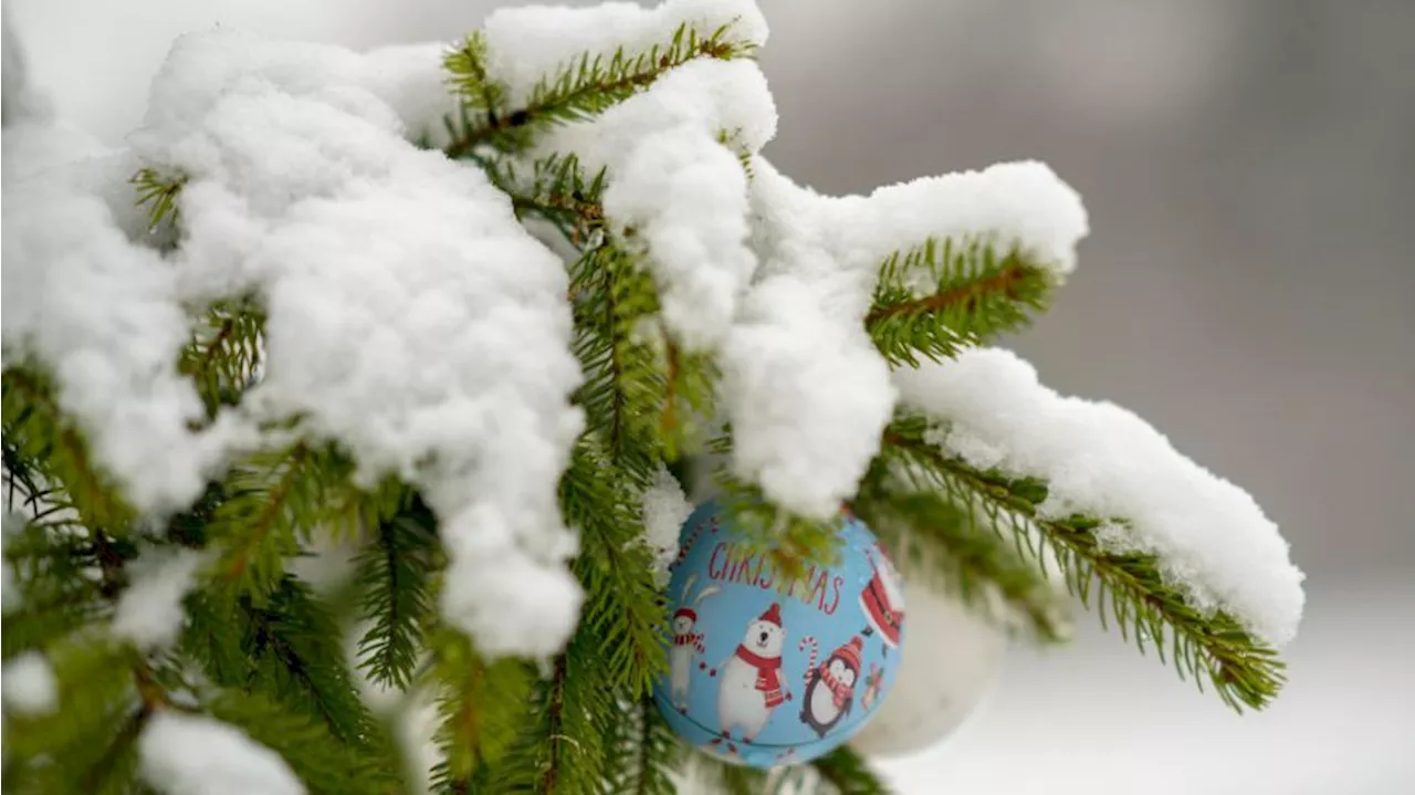
With the holiday season approaching, the prospect of a White Christmas is not entirely off the table. Although predictions vary, the potential for snowfall in the coming weeks offers a glimmer of hope for residents looking forward to festive winter weather.


