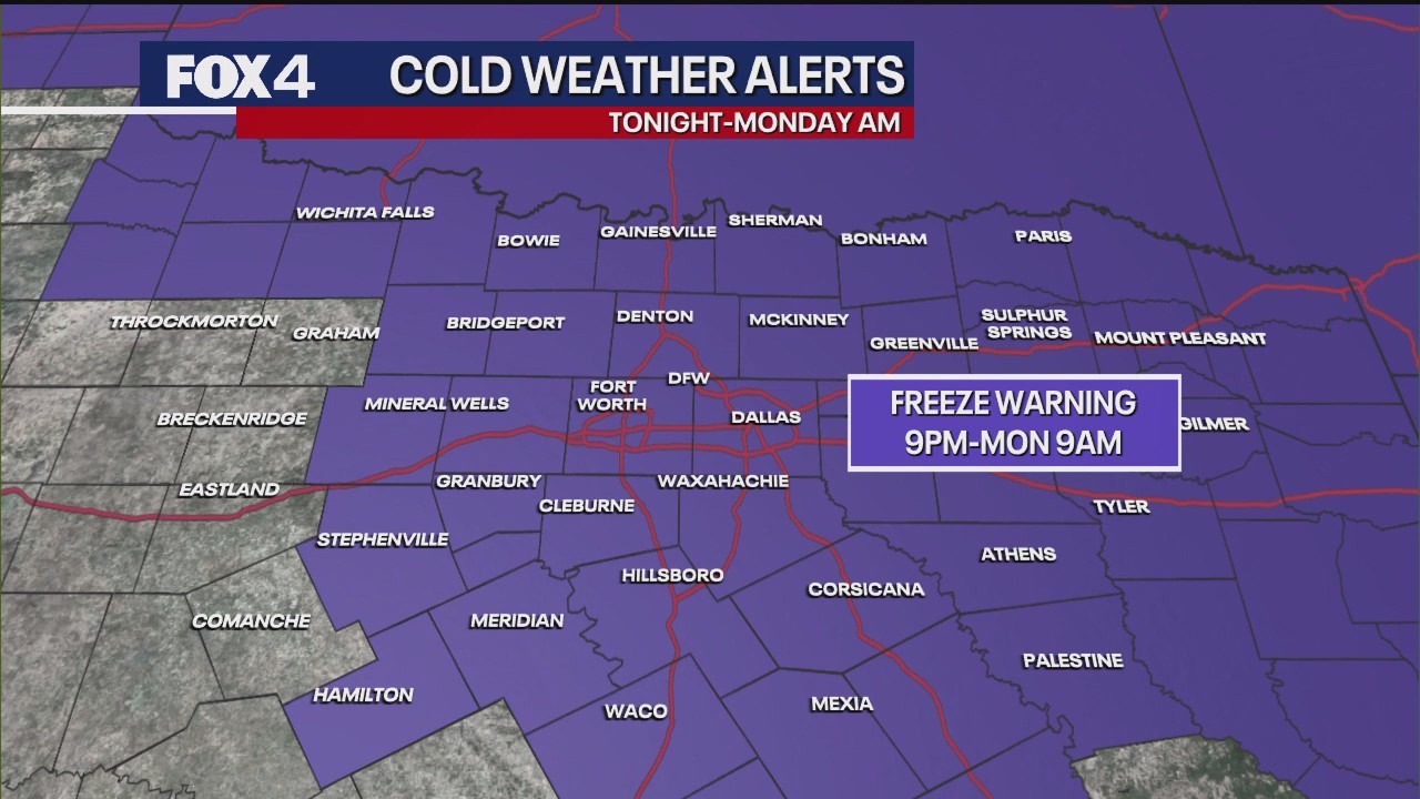
URGENT UPDATE: A Freeze Warning has been issued for nearly all of North Texas, effective from 9 p.m. Sunday until 9 a.m. Monday. The National Weather Service escalated this warning due to the arrival of modified Arctic air, marking the coldest temperatures of the season so far.
As temperatures are set to plummet, residents are advised to take immediate precautions. Protect vulnerable plants and bring pets indoors to ensure their safety. If you must venture out late tonight or early tomorrow morning, dress in multiple layers to combat the biting cold.
The situation is intensified by strong northerly winds, which will significantly contribute to the chill. Sustained winds are expected to range from 15 to 25 mph, with gusts possibly reaching up to 35 mph. This will exacerbate the cold front, limiting Sunday’s high to just below 60 degrees Fahrenheit across most areas.
Overnight lows are projected to dip near or below the freezing mark of 32 degrees in the immediate Dallas Metroplex, while outlying regions like Denton and Collin counties could experience temperatures in the upper 20s. The intense wind conditions will persist, creating “feel like” temperatures that could plummet to the mid-20s.
Residents should remain vigilant as this cold spell is expected to be brief. By Tuesday, high pressure moving in from the west will shift air flow to the south, bringing a promising warm-up. Highs are forecasted to rebound into the mid to upper 70s and potentially reach the low 80s by late in the week.
Looking ahead, there is a low chance of showers and thunderstorms in the forecast for next weekend, so keep an eye on the evolving weather conditions.
Stay warm and safe, North Texas. This Freeze Warning highlights the urgent need for preparation as temperatures dangerously drop. Share this information to help others stay informed!