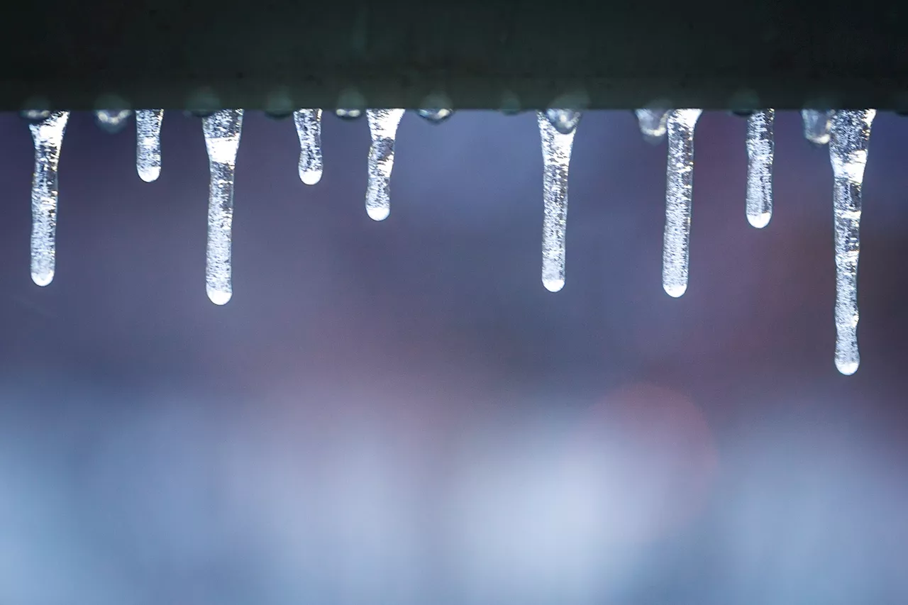
URGENT UPDATE: The Chicago area is bracing for an unprecedented drop in temperatures, with wind chills expected to plunge to a bone-chilling 10 to 20 degrees below zero beginning tonight. As winter grips the region, the NBC 5 Storm Team warns that air temperatures could plummet to a startling 5°F, marking the earliest arrival of such frigid weather since 1991.
The cold front sweeping through the city is not just bringing icy temperatures; it’s also expected to deliver scattered snow showers this evening. While accumulations are predicted to be minimal—less than a half-inch—there’s a risk of freezing drizzle, particularly south of Interstate 80, according to the National Weather Service.
As the cold front passes, wind gusts will increase, reaching upwards of 25 to 30 miles per hour, amplifying the harsh chill. Meteorologist Kevin Jeanes from NBC 5 emphasizes that these wind chills will persist well into Thursday morning, creating dangerously cold conditions for commuters and residents alike.
Thursday promises only limited relief, with highs struggling to reach the mid-to-upper teens despite partly sunny skies. A second night of frigid temperatures will follow, as lows drop again into the single digits.
Friday offers a slight reprieve, with temperatures climbing into the upper-20s, but flurries may still make an appearance throughout the day. The weekend forecast indicates partly-to-mostly sunny skies with temperatures near freezing, though another wave of snow showers could return on Sunday, bringing slightly cooler conditions.
Residents are urged to stay indoors where possible and to dress warmly if venturing outside as these extreme cold conditions could have serious health implications. The city is on high alert, and officials are reminding everyone to be prepared for potential weather-related disruptions.
Stay tuned for more updates as this situation develops and ensure you are ready for the cold snap hitting the Chicago area.