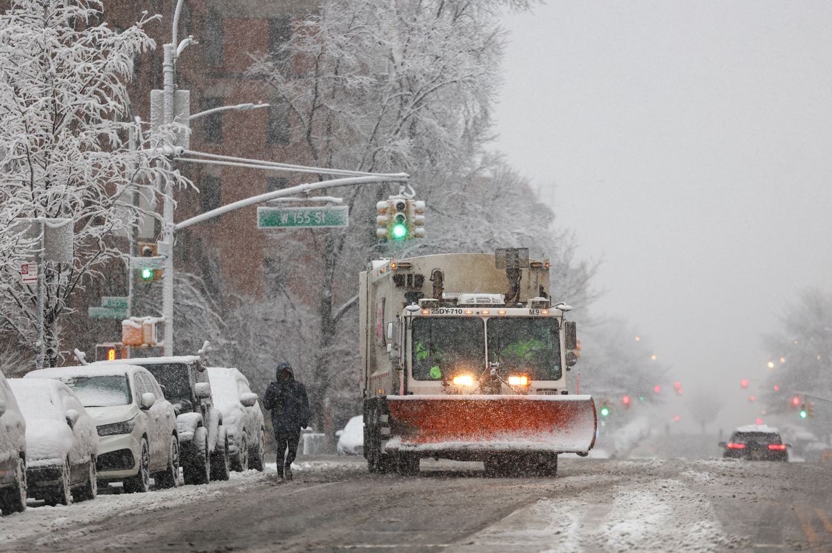
UPDATE: Approximately 72 million Americans are currently under wind alerts as a powerful weather system sweeps across the nation, threatening holiday travel plans. With gusts reaching up to 60 mph, significant disruptions are expected from the High Plains to the Northeast as heavy snowstorms roll in.
The storm system, moving eastward through the northern Great Lakes and extending to the Southeast, is already impacting travel. Communities from Washington, D.C. to Boston are experiencing wind and rain, causing delays and hazardous conditions. The most severe disruptions will be felt on the West Coast, particularly in California, where a series of storms forecasted to begin this weekend could lead to urban flooding and river overflow.
AccuWeather reports that California, which recently dodged severe winter weather, is now bracing for heavy downpours that could start as early as this weekend and last through Christmas week. Lower elevations may see several inches of rainfall, while higher elevations in the Sierra Nevada could receive multiple feet of snow. AccuWeather Chief On-Air Meteorologist Bernie Rayno warns that these conditions may significantly impede travel.
Meanwhile, the Northeast is preparing for possible travel delays due to lake-effect snow, which is expected to blanket the region before conditions improve later in the evening. AccuWeather Senior Meteorologist Adam Douty noted that a larger clipper storm will affect parts of the Upper Midwest and Northeast by Monday to Tuesday, with the most challenging travel conditions expected on Tuesday. Travelers in areas from the Pocono Mountains through upstate New York and into central and northern New England should be alert.
In stark contrast, many states are predicted to enjoy one of the warmest Christmases on record, with temperatures soaring into the 70s and 80s Fahrenheit over the holiday weekend. AccuWeather indicates that this could shatter daily records in states from Texas to Missouri and Georgia on both Christmas Eve and Christmas Day.
New Yorkers anticipating a snowy Christmas may face disappointment. The city is set for a dry holiday with temperatures in the mid-40s. Light snowfall is possible early next week, although any accumulation is expected to melt away before Christmas. AccuWeather.com senior meteorologist John Feerick highlighted that a white Christmas in New York City is quite rare, with the last measurable snowfall occurring in 2002 when 5 inches covered Central Park.
As the weather continues to develop, travelers are urged to stay updated on conditions and prepare for potential delays. The weekend is expected to remain calm in areas aside from lingering winds and snow in the Great Lakes region.
Stay tuned for more updates as this weather situation evolves, and ensure that your holiday plans remain flexible.