Grand Forks is taking proactive measures to enhance its flood defenses following a recent study that evaluated the city’s flood protection systems in light of increasing rainfall and spring melt flows. The study, presented during the Grand Forks City Council meeting on January 12, highlighted key areas for improvement, aiming to mitigate potential flooding risks over the next year or two.
The flood study was conducted by the city’s engineering department in collaboration with the engineering firm AE2S. City Engineer Al Grasser noted that this assessment builds on prior investigations, revealing patterns of escalating summer rain events and flow rates from melting snow. The study included 27 model runs to simulate how various drainage systems, including the English Coulee and a diversion channel on the western side of the city, would respond to different flooding scenarios.
Among the proposed solutions is the addition of more storage ponds and box culverts located west of Interstate 29. This initiative aims to better manage water flow in rural areas of the watershed. Grasser emphasized that these concepts would be integrated into the planned interchange from Interstate 29 to 47th Avenue South.
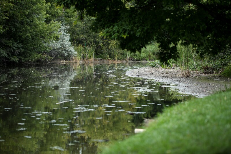
Further strategies for flood mitigation involve enhancing the capacity of the English Coulee Diversion. This could be achieved by blocking certain flow paths at the interstate, thereby redirecting water toward the diversion using gravity, and upgrading specific pump stations. The English Coulee, a natural waterway flowing north through western Grand Forks, passes residential neighborhoods and the University of North Dakota campus before merging with the Red River.
The study also identified vulnerable areas not directly linked to the coulee that could still face flooding risks via the storm sewer system. Grasser mentioned the potential for disconnecting some of these points and installing a small pump station. This would allow for better control of water levels during high-flow events in the English Coulee.
As part of its immediate action plan, the engineering department aims to establish and adopt storage requirements for ditches and ponds west of the interstate. They will also initiate discussions with the Army Corps of Engineers regarding new flow introductions to the English Coulee Diversion. Additionally, the department will explore the feasibility of upgrading pump stations around the coulee and installing monitoring sites on major waterways.
Grasser pointed out the importance of continuing to monitor water flows in relation to rainfall events. He stated, “There were a lot of monitoring sites that monitored the flows versus the rainfall events. I think there’s some advantage for us to keep a few of these sites working so we understand how these drainage features are functioning.”
The city plans to leverage cost-sharing opportunities with the North Dakota Department of Water Resources for these flood control projects. Current programs, such as the Rural Flood Control Program, can provide cost shares between 45% and 60%, while the Flood Protection Program offers up to 60% cost shares. Presently, Grand Forks is operating at a 52% cost share with the state for flood-related initiatives.
By implementing these measures, Grand Forks aims to strengthen its flood management systems and safeguard the community from potential flooding incidents in the future.