Strong to Severe Storms Target South Carolina Tonight with Heavy Rainfall Expected
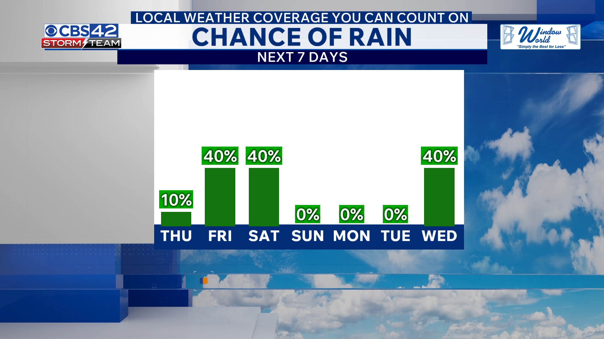
Strong storms fueled by a cold front and an upper-level disturbance are moving into South Carolina tonight, bringing a fresh round of showers and local thunderstorms primarily along and south of Interstate 20. The severe weather risk is currently assessed as Marginal (Level 1 of 5), with large hail and damaging winds as the main threats according to the CBS 42 Weather Livestream Channel.
Temperatures will drop into the lower to mid-50s overnight. Rain is expected to accumulate between 2 to 3 inches in many areas, offering some relief to South Carolina’s ongoing drought conditions. The cold front is forecast to slowly track southward, pushing the rain out by early Thursday.
Brief Dry Spell Thursday, Then More Storms Return Friday
Thursday will bring a break in the rain as the front moves toward the Gulf Coast. Expect partly cloudy skies and cooler temperatures topping out in the mid-70s. However, the calm won’t last long. A stalled coastal boundary combined with an approaching low-pressure system will spark scattered showers and a few non-severe thunderstorms by Friday.
Temperatures will be noticeably cooler on Friday with highs only reaching the upper 60s. The storm activity will ramp up again Friday night and continue into early Saturday morning, potentially bringing additional rounds of heavy rain. Overnight lows Friday will dip into the upper 40s to around 50 degrees.
Weekend Outlook: Lingering Showers Then Clearing and Cooler Temperatures
Showers may linger into Saturday morning but are expected to clear through the afternoon, leaving behind cooler weather with highs in the upper 60s. Saturday night will turn mostly clear and colder, with lows dropping into the 40s. By Sunday, South Carolina should enjoy a dry day with plenty of sunshine and highs climbing back into the upper 60s.
Why This Matters Now
The patchy severe weather tonight carries risks of hail damage and strong winds, which could impact vehicles, roofs, and outdoor activities across the southern half of the state. With heavy rainfall piling up quickly, localized flooding remains a concern in susceptible areas, especially south of I-20. This developing weather pattern is significant for residents who need to stay alert as the weekend approaches, with the potential for more disruptive storms Friday night into Saturday.
The rain is a welcome boost amidst South Carolina’s drought, but fast-moving storms and gusty winds require caution, especially during evening and overnight hours. Weather officials urge residents to monitor local updates and be prepared for sudden changes in conditions.
Stay Updated
Continue following CBS 42 Weather Livestream Channel and trusted local sources for the latest alerts and detailed forecasts. This evolving weather system demands full attention from those in South Carolina and neighboring regions to avoid hazards and plan accordingly.
CBS 42 Weather Livestream Channel: “Tonight’s line of storms poses a Marginal Risk for large hail and damaging winds as the cold front and upper-level system traverse the area.”
With South Carolina residents bracing for what could be a stormy end to the workweek, vigilance and preparedness remain the best defenses against the potential impacts of these strong to severe storms.